01
Build and edit terrain
Shape landscapes in 3D using the terrain editing tools.
Terrain builder · In development
A real-time terrain builder for creating landscapes and exploring real terrain data.
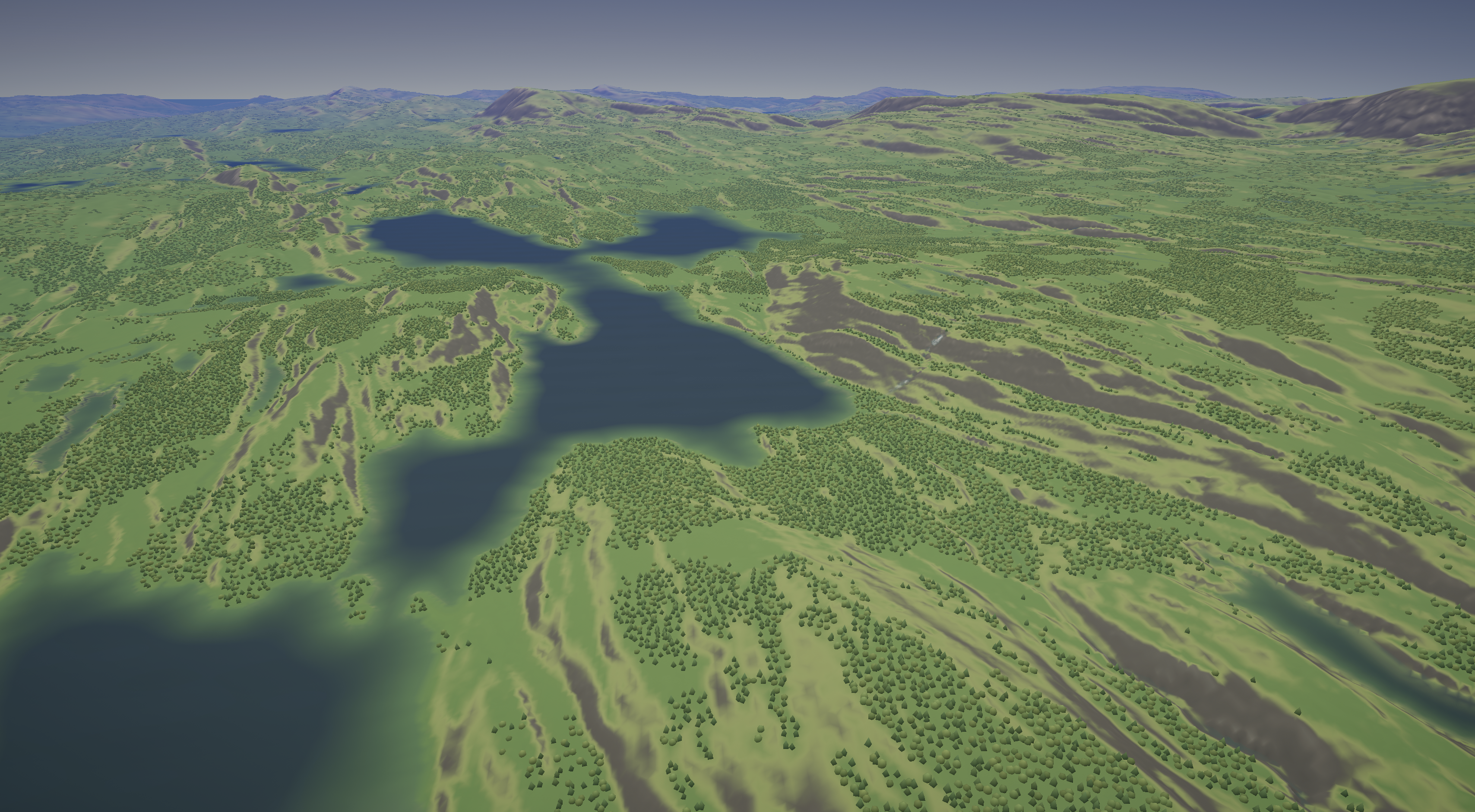
Development capture
The project
Terraform is a real-time terrain editing tool. Create landscapes or import Norwegian terrain data, then explore and edit the result in 3D.
The editing tools are already usable during development, but Terraform is not yet publicly available. We are continuing development toward release.
01
Shape landscapes in 3D using the terrain editing tools.
02
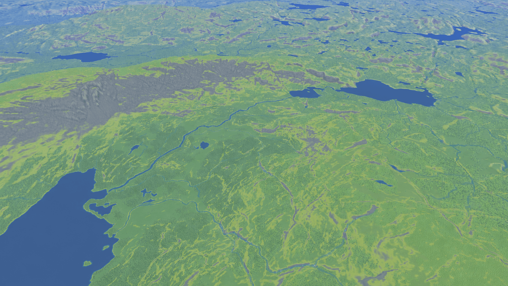
Import Norwegian terrain data to explore and edit real landscapes.
03
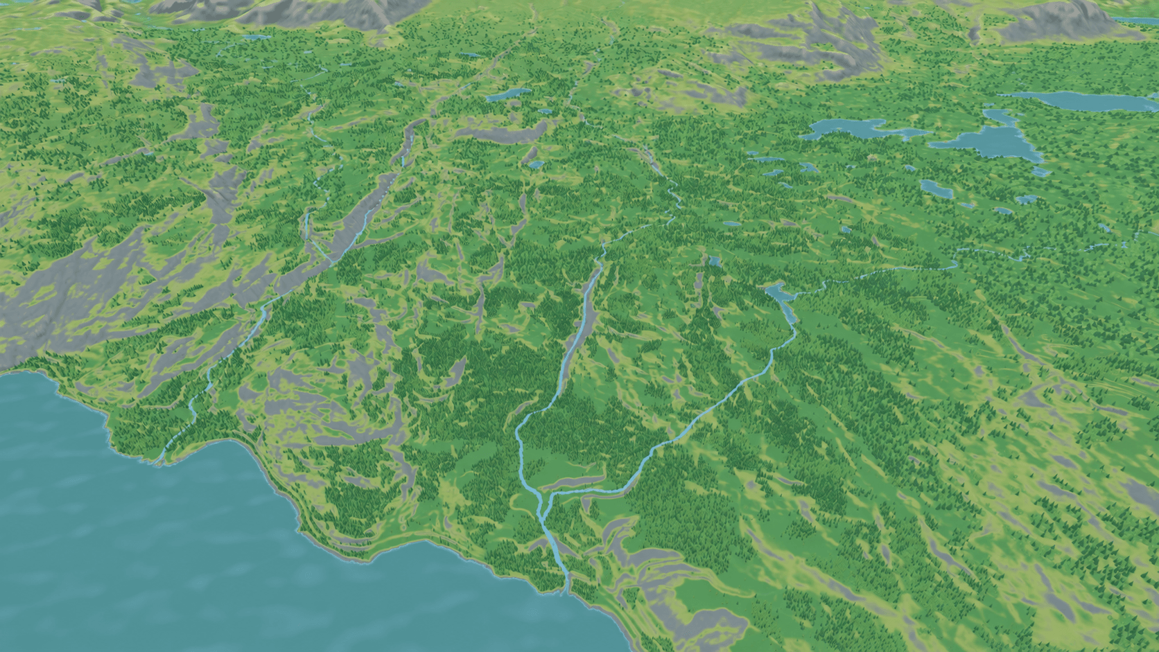
Lakes, rivers, and drainage are handled as connected parts of the landscape.
Performance
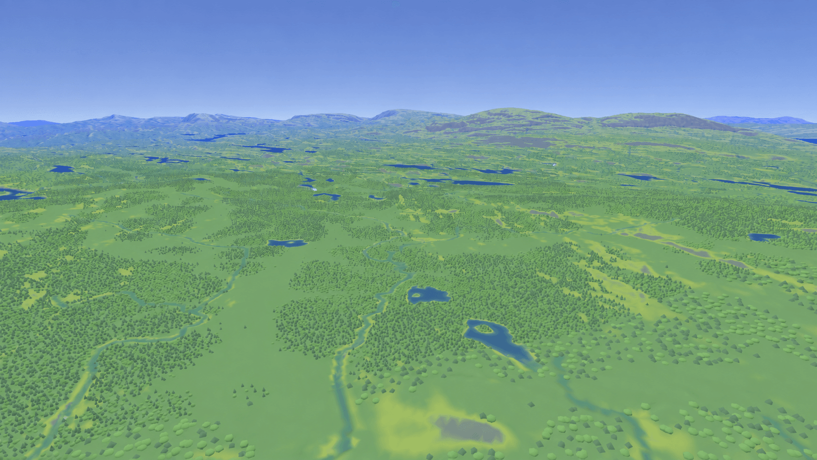
Large landscapes need to stay responsive while you move around and edit them. Terraform loads terrain data around the area in view, rather than loading the whole landscape at once.
Current work focuses on smoother terrain loading, improving water calculations, and keeping the editing tools reliable as the landscape grows.
System map
See how the parts of Terraform work together. Select a module to read more.
Project in progress